Amazing Redstone Hiking
and Biking Trails
Wilderness so beautiful you won’t believe its real.
Hiking Pack List & Local Tips
Welcome to Our Outdoor Playground
Are you dreaming of the solitude of the sound of your boots hitting the ground and stunning scenery? Set out on our trails. Redstone, Colorado is surrounded by national forest and wilderness areas. Many hiking opportunities are available within the White River National Forest, Maroon Bells Wilderness Areas, Raggeds Wilderness Area, and the Elk Mountains.
Without stepping into a car from Redstone Blvd., you can access the East Creek Trail, the East Creek Bouldering area, and the OTS Trail. Within a 20-minute drive, you’ll find many more options.
Lower-elevation trails are usually dry and accessible by early May, but some trails will take longer at higher elevations. It’s all dependent on snowpack and the amount of direct sunlight a trail gets.
Trail Recommendations:
Redstone Boulevard: A walk down the Boulevard through Redstone and onto the Forest Service campground entrance is a fun one-hour excursion, This is an opportunity to see the village and sample the 7,200-foot altitude. Starting at the Redstone Inn, it’s a safe walk, run, or bike ride with little traffic. For a loop, take the hiking path that runs parallel to the Boulevard to the east. An idyllic single-track footpath runs behind Redstone’s commercial and residential district all the way to the Redstone campground. Be sure to pay attention to private property signs and stay on the trail.
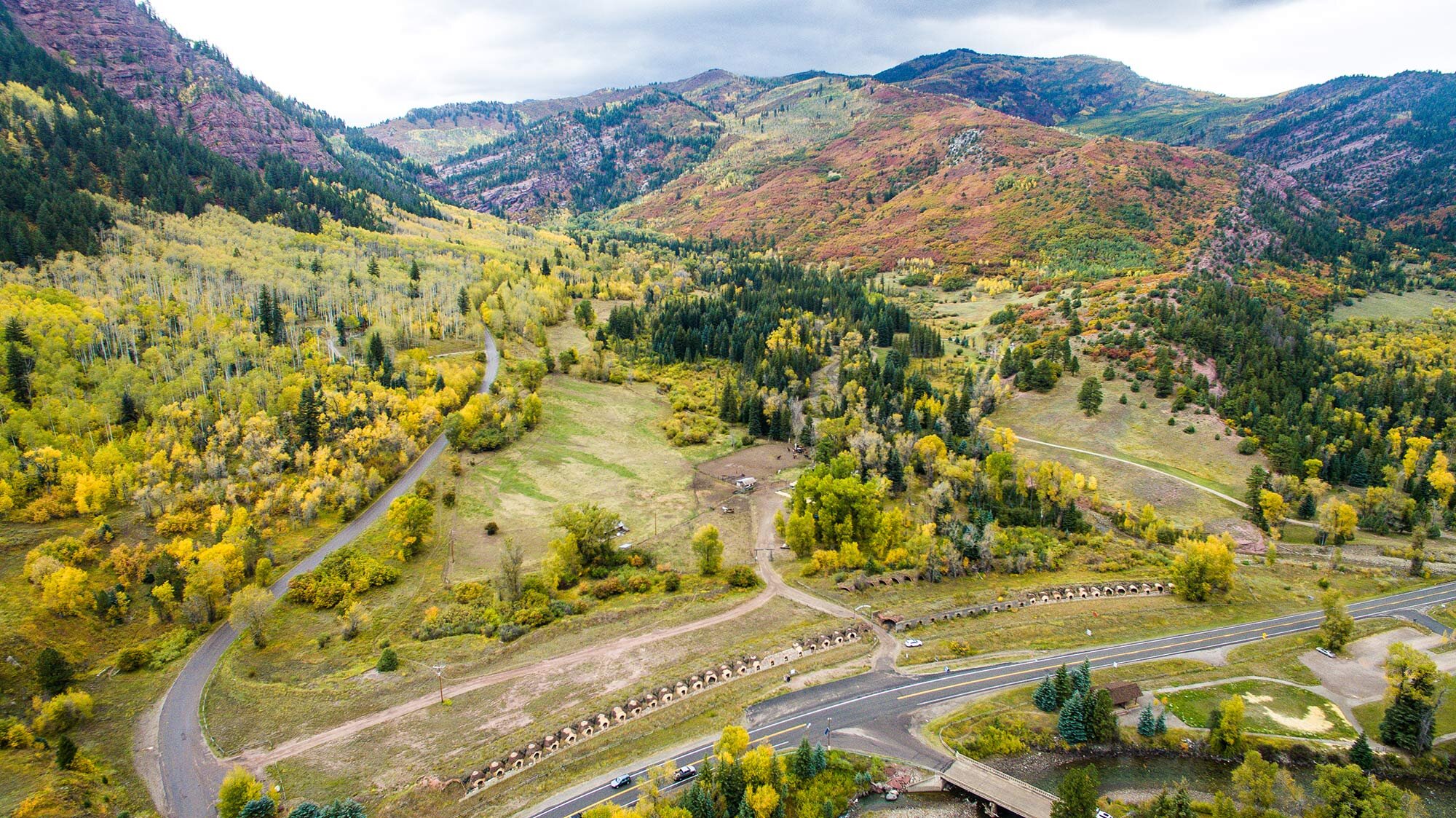
Elk Park and the Coke Ovens: Walk over the pedestrian bridge in Redstone Park to Elk Park. Walk the gravel loop for a history and geology lesson being sure to stop at the pavilion. Then carefully cross Highway 133 to the historic beehive Coke Ovens for the history of our mining past. The total round trip is a little over a mile.
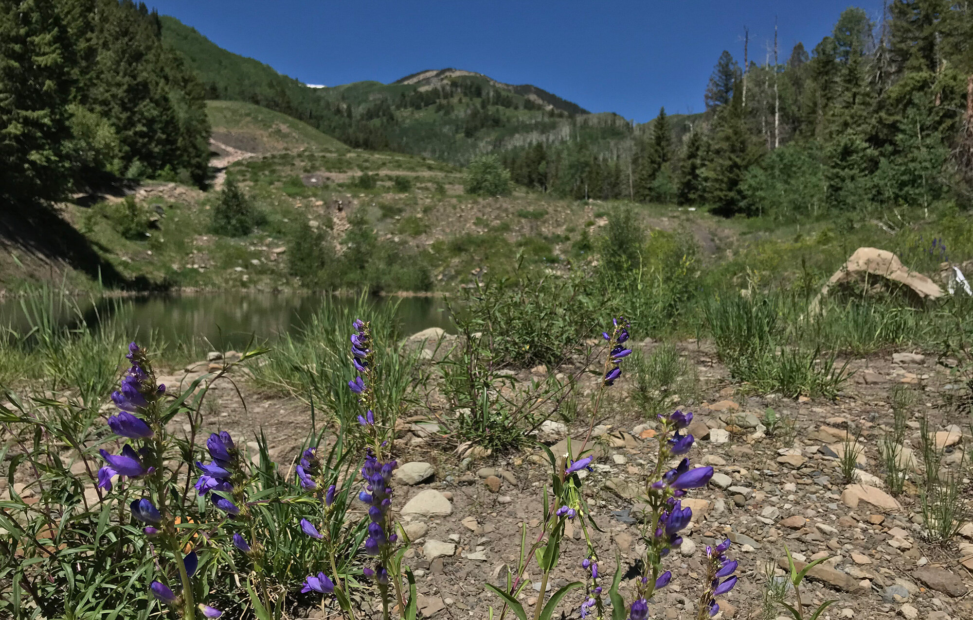
Redstone Boulders
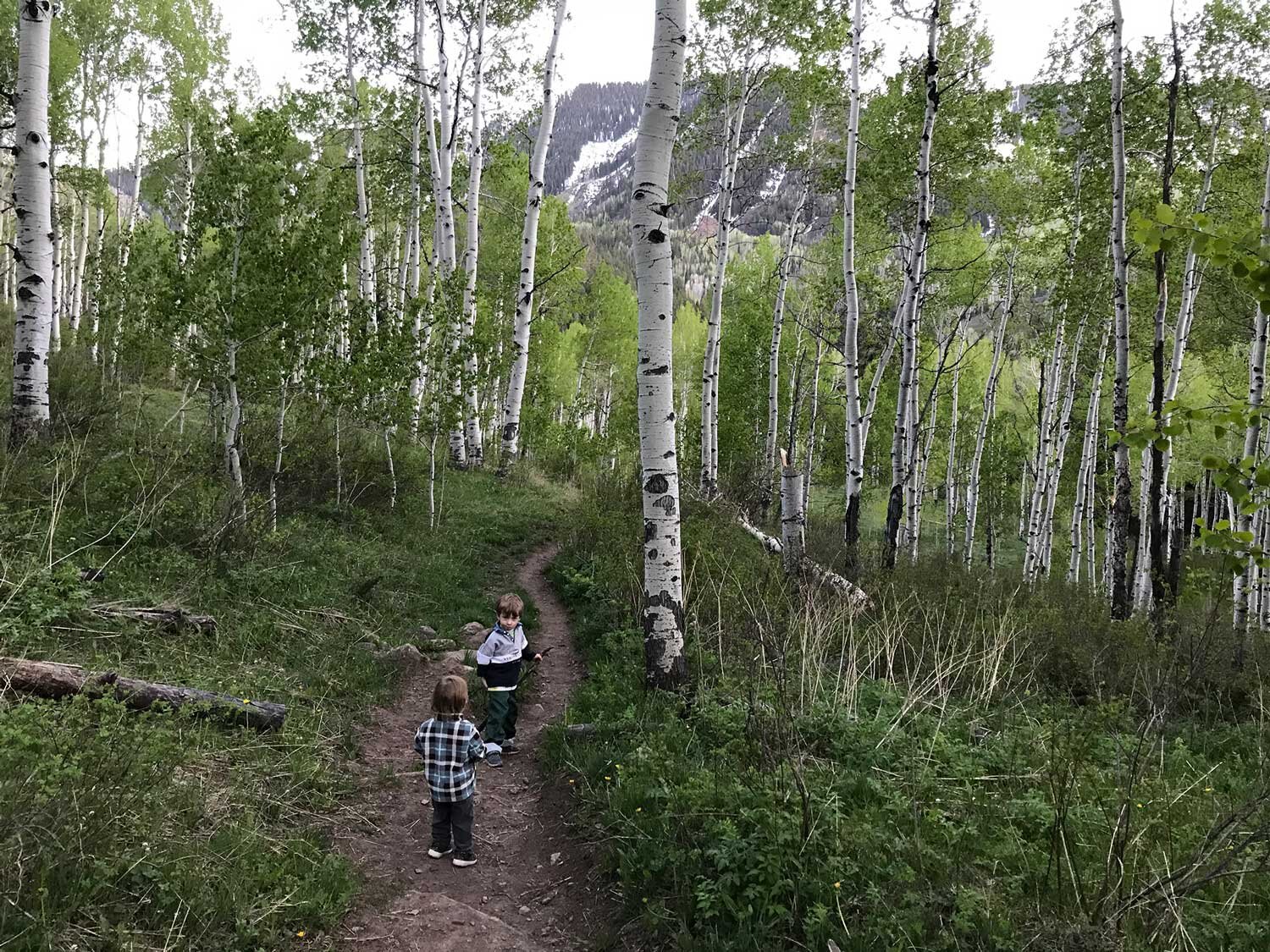
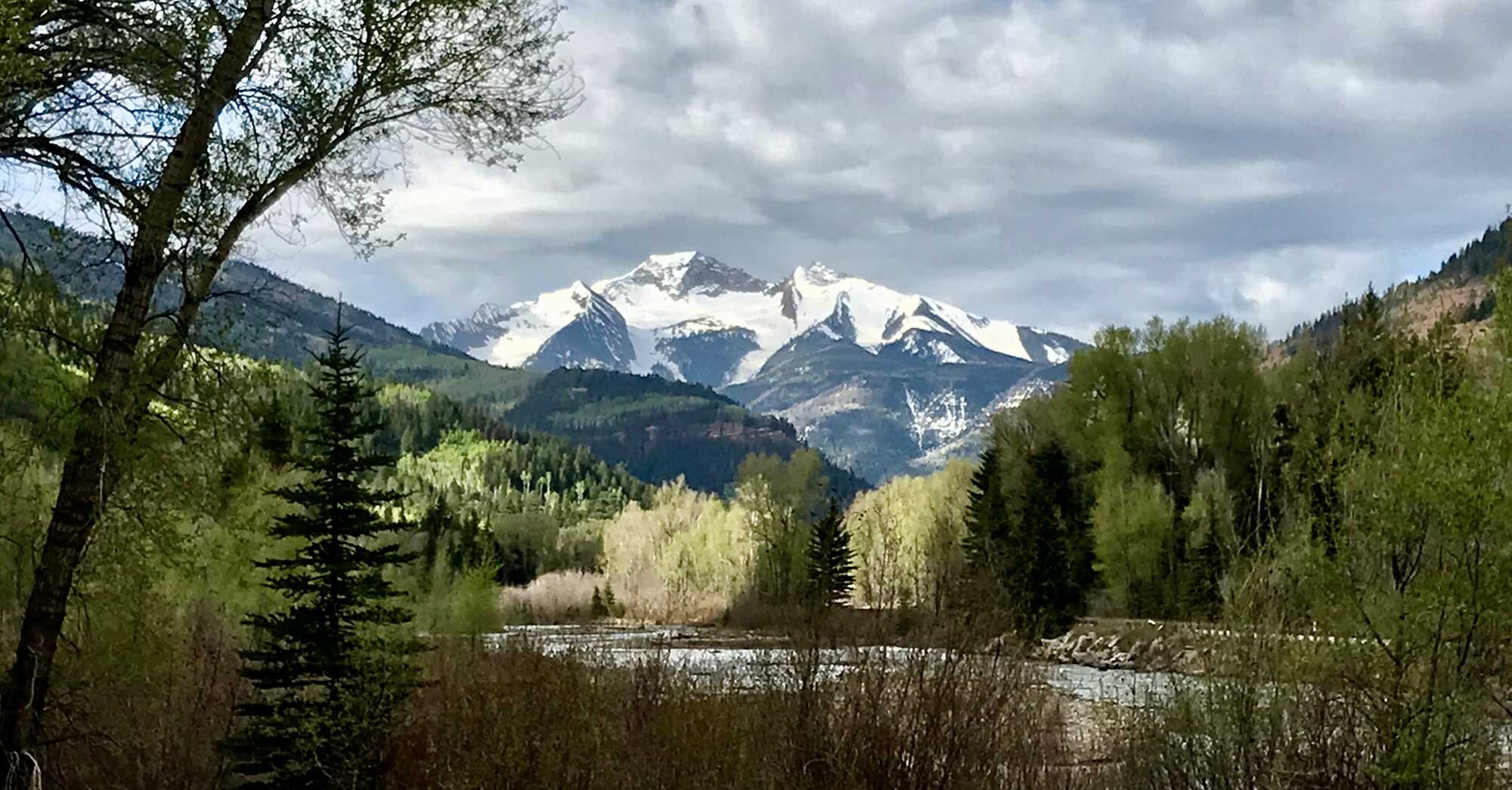
Braderich Creek Trail in May
Filoha Meadows Wildlife Preserve: This remarkable meadow is on the east side of the Crystal River and is open to the public from half an hour after dawn and half an hour before dusk from July 1 to September 30.
East Creek Trail: East Creek is the gateway to several trails that go to a range if destinations in the Maroon Bells Snowmass Wilderness. The lower trail for East Creek is on the Boulevard about half a mile north of the Redstone Inn, on the right, past the house with the Mona Lisa painted on it. The first 0.8 miles can either be hiked or negotiated with an SUV to a turn-around and a small parking area at the high trailhead at 7,800 feet. From the trailhead, it becomes a formal Forest Service trail, which goes about a mile and a half and then splits. The left-hand fork climbs about 3000 feet over 3 steep miles into the upper East Creek Basin, Avalanche Creek, and beyond.
Lower Coal Basin - Braderich Trail: It starts at a formal Forest Service trailhead about 2 miles up Coal Basin road from Hwy 133, just past the second cattle guard. Starting from the Braderich trailhead, the initial rise is steep, but it levels off to a gradual grade to an unnamed pass, at 9,100 feet for a total vertical rise of 1,600 feet. The trail rises to the pass and then descends into South Thompson Creek where it eventually joins the unpaved south Thompson Creek Road and leads to Carbondale. If going all the way, this is a hard, one-day hike and is popular with mountain bikers. Be sure to have a pick-up vehicle in Carbondale or on the South Thompson Creek road.
Hardy Hikers and Strenuous Days:
Many of our trails are not a walk in the park. Hikes in the area vary from 5 to 8 miles to 12+ miles with some strenuous elevation to climb. However, for those willing and able to make the trek the rewards are amazing.
A Vertical Challenge: Try East Creek Trail. This is one of the most challenging trails in the Maroon Bells/Snowmass Wilderness Area. It’s a strenuous climb for 8 miles up a lightly used trail. For those hardy individuals that make it to the top, you’ll be greeted with a view of Gift Creek, the Elk Mountains and the Avalanche Creek drainage. The top of the pass is at over 12,000 ft.
Trail Runners: Take the old mining road (closed to vehicles) from the Coal Creek Basin Trailhead for a 10+ mile day. There isn’t much shade and you may be sharing the trail with some mountain bikers but it’s a great run.
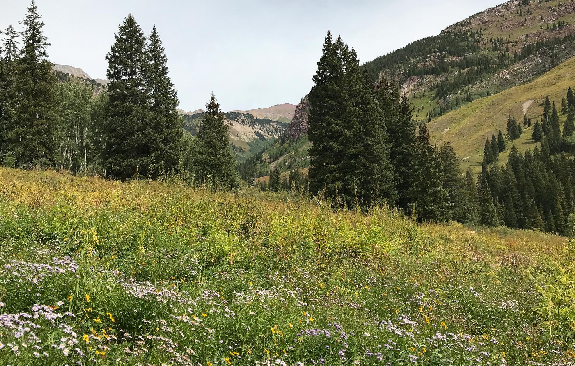
Lead King Loop & Marble Area Trails: There are some amazing trails that start near Marble, Colorado. It’s about a 25 minute drive to get to Marble. Accessing some of these trailheads require a high clearance 4x4 vehicle or a walk on a forest service road to reach them.
Local’s Tip
Visit the US Forest Service Website for more hiking trails and information
Road Biking & Mountain Biking:
Mountain Biking:
Mountain Biking is allowed on Forest Service Roads and bike-designated trails. All the trails listed here are accessed off Coal Basin Road FSR #307. Please be aware this is a popular road for hikers, runners, bikers, and pets.
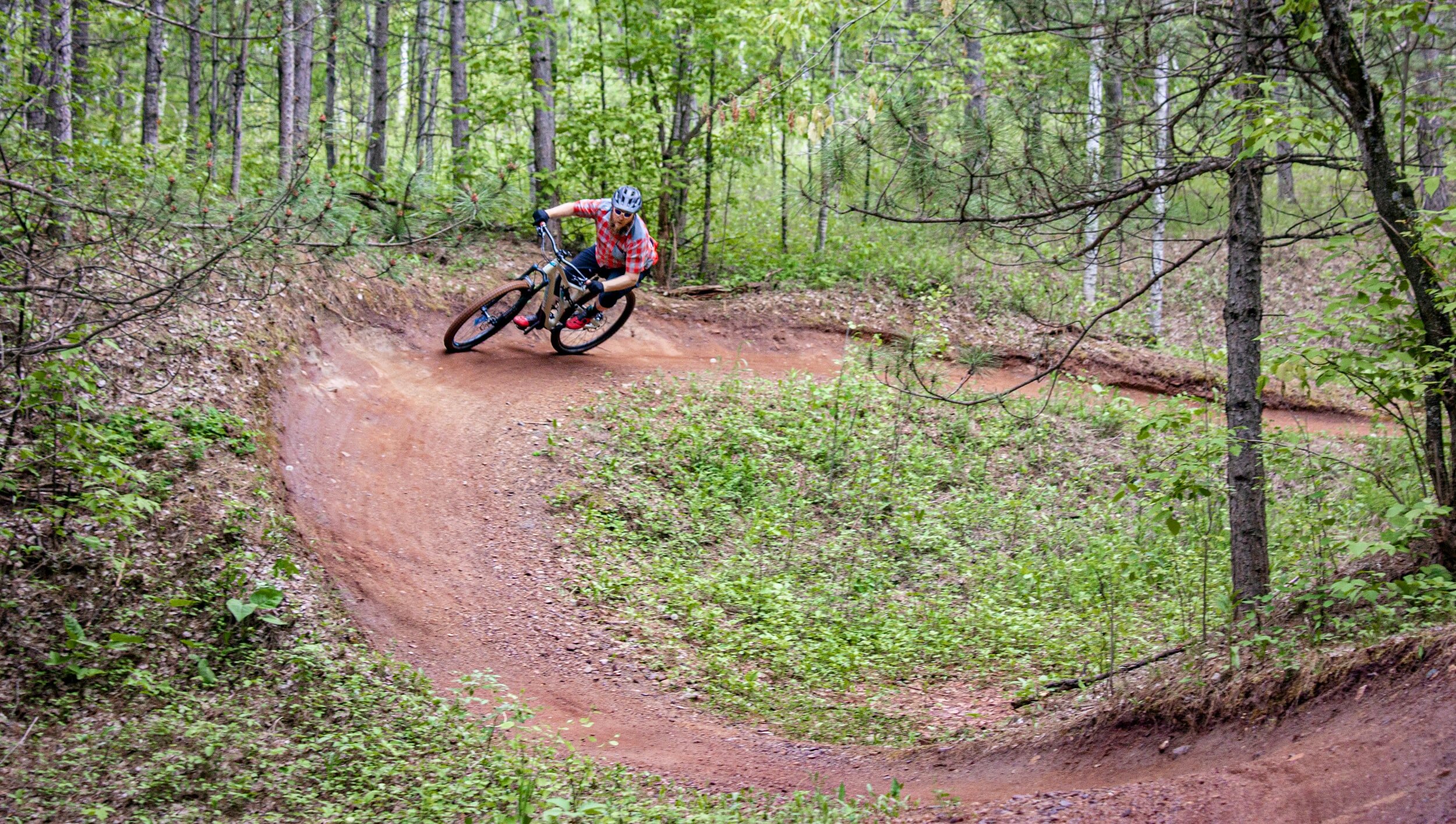
Coal Basin Ranch: This newly constructed network of roughly 5 miles of singletrack trails features a cross-country singletrack, several jump lines, a pump track, and a balance bike track for the little ones.
It is open to the public, free of charge from 8 a.m. to 8 p.m. daily. It’s located on private property which is accessed from the summer trailhead at the end of Coal Basin Road (FSR #307) - View the Trail Map
Braderich Creek: This is a popular mountain biking route that connects to other trails in Carbondale. Most bikers begin in Carbondale and finish in Redstone.
Coal Creek Mining Road: Accessed from the summer trailhead at the end of Coal Basin Road (FSR #307) is a long uphill route that heads through the former Mid-Continent coal mining site to a historic mining camp.
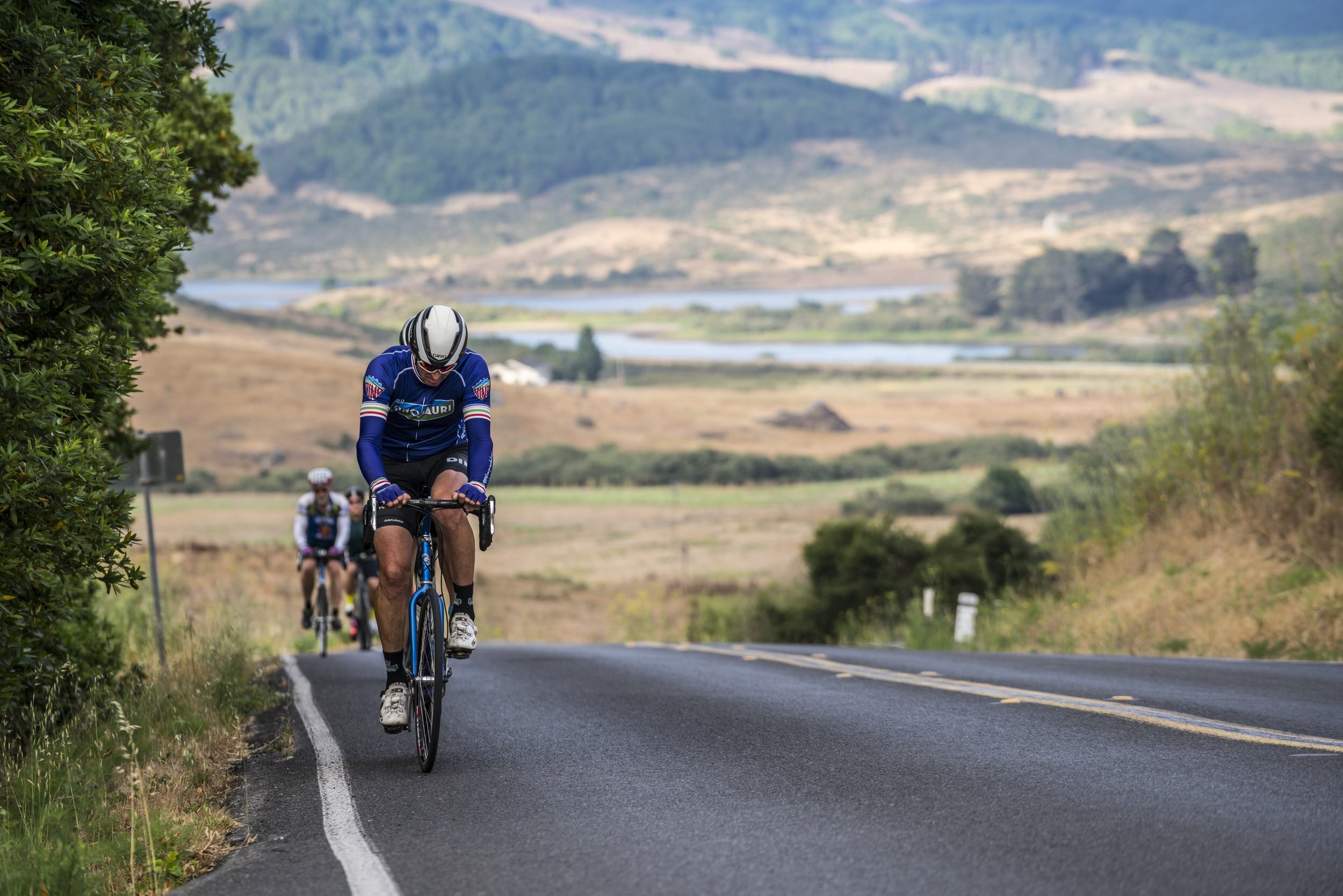
Road Biking:
Crystal River Bike Path: The Crystal River Bike Path is a peaceful and fairly flat ride with nice views of Mt. Sopris as it winds its way past cattle pastures. It starts in Carbondale and currently ends at the KOA campground 7 miles south of Carbondale. There are possible expansion plans for the path at a later date.
Carbondale to Paonia: Experienced and brave cyclists pedal from Carbondale to Paonia via Highway 133 over McClure Pass. Keep in mind there is limited to no shoulder along the route and it’s a curvy mountain highway.
Coal Creek Road (FSR #307): Starting at Highway 133, you'll find 4 miles of road following Coal Creek up the mountain. The ride back is all downhill! Be courteous of hikers, runners, and pets on the road!
Mountain biker on a banked forested biking trail
USA Pro Challenge biker riding through the Crystal Valley